Tag: environment

What Do We Want at Waterfront Auckland

What we want


From Auckland Council

Fun, sun and a run – what Aucklanders want from their waterfront


Fun and quirky spaces, sunshine, sea views, places to eat, public gatherings and events, areas to swim, walk and run, and children’s play space.

These are some of the recurring themes on the list of what Aucklanders want from new downtown spaces.

Auckland Council’s City Centre Integration team is seeking feedback on what people want to see in the downtown spaces, from outside Britomart train station to the waterfront areas between Princes Wharf and Captain Cook Wharf. The survey runs until 12 December 2014 and has elicited a variety of responses since it began earlier in the month.

Waitemata Local Board Chair Shale Chambers says: “We’re seeing a range of requests coming through; basically we are finding that Aucklanders want a lot of different things.

“There are some trends emerging from public feedback, for example, we can see that people want views of the water rather than the city, they want sun rather than shade options, they want to be able to run and walk, to attend events and gatherings and free play space for their kids.”

The survey asks people to rank a variety of options under different headings. It also asks what else they would like to see, with ideas put forward so far including bike parking, family sporting events, places to swim, improving transport connections and an outdoor cinema.

From feedback received to date the top two options under each heading are:

Environment and setting:

–       Looking at harbour views

–       Relaxing in sunny, open spaces

Community, Arts, Culture and Heritage:

–       Spaces that are fun and quirky

–       Attend public gatherings, demonstrations, events, performances and celebrations

Hospitality and retail:

–       Eat or drink at café and restaurant tables

–       Picnic at freely available eating spaces

Recreation activities:

–       Walk and/or run

–       Playspace for children in a natural area (trees, rocks, grass, sand etc)


Findings from this public consultation will help to inform the design and planning processes. The survey is open until 12 December 2014 and can be accessed through shapeauckland.co.nz.

—–ends—-


I have done the survey have you?


Plans Plans Plans

The Next Round of Consultation with Two Plans


All these plans and all the consultation that goes with it (although some would do Death by Consultation in the name sake “The People…”) would make most people go nuts. In saying that from September 30 we enter the three-year process of formal notification and hearing with The Unitary Plan.

If you want to get changes put into the Unitary Plan then be prepared to write and send in your formal submission between September 30 and February 24th, 2014. After that we have independent commissioners appointed by the Government who will conduct Hearings through to and inclusive of 2016. Again this is how you get your changes that you would like to see in the Unitary Plan, NOT by giving it back to Councillors to go waste time and money re-litigating until the cows come home before they finally send it back out to notification.


In the meantime this from Auckland Council:

Unitary Plan approved for notification

Thank you to those who provided feedback on the draft Unitary Plan. Auckland Council’s Governing Body has approved the proposed Auckland Unitary Plan for notification and a formal submissions phase, which starts on the date of notification, 30 September. The proposed plan will then be available online at www.aucklandcouncil.govt.nz/unitaryplan as well as in hard copy format in libraries for those who don’t have access to the internet.

The plan includes amendments to the maps, policies and rules based on the feedback of over 21,000 Aucklanders and the decisions made by Auckland Councillors on what changes would be included.

The formal submissions phase, which includes further submissions and a hearings process will take place over approximately three years.

For more information on the unitary plan email unitaryplan@aucklandcouncil.govt.nz with any questions.


Sea Change – Hauraki Gulf Marine Spatial Plan

The Hauraki Gulf, known by many as Tikapa Moana and by others as Te Moananui ā Toi, is a national taonga (treasure). Over the next two years we’ll be creating a marine spatial plan, called Sea Change, to safeguard this treasure.

Ultimately, it’s about securing a healthy, productive and sustainable resource shared by all. The project is led by a partnership between mana whenua (local Māori who have customary authority over the area), and central and local government. Interest groups and users of the gulf, including recreational fishing and boating, environmental and community, aquaculture, fishing, shipping and tourism will have an opportunity to participate.

Sea Change will follow world best practice. This includes using an online decision support tool called SeaSketch. It will give everyone with an interest in this national taonga the opportunity to contribute towards creating a desired vision for it, including recommending:

  • which activities should take place and where
  • what areas and values are important and how to safeguard them
  • options to meet future needs.

A Stakeholder Working Group will take a lead role in developing the marine spatial plan and commence its selection process in October 2013. The group will consider all points of view by compiling and providing information, reviewing evidence, and analysing reports. The public will be able to have their say during 2014.

The non-statutory plan developed through this process will be used to modify district, regional and coastal plans and any relevant policies, rules and regulations.

Find out more at www.seachange.org.nz

How to stay informed and involved

Please pass this on to other people you think will be interested in council issues. Find out more on how you can have your say at www.aucklandcouncil.govt.nz/haveyoursay
In the meantime, if you have any queries, please don’t hesitate to get in touch by emailing us at consultation@aucklandcouncil.govt.nz


That last bit being rather relevant especially after somewhat of a mixed bag for me over the last three years in advocating for a #BetterAuckland.


October 4 I will have the blog reformatted and set up for the formal notification phase of the Unitary Plan as Talking Auckland will once again run its leading independent commentary on Auckland issues.

TALKING AUCKLAND

Talking Auckland: Blog of TotaRim Consultancy Limited

TotaRim Consultancy
Bringing Well Managed Progress to Auckland and The Unitary Plan

Auckland: 2013 – YOUR CITY, YOUR CALL


Waste Water Furore

Legit Concern

or

NIMBYism Striking Back


I noticed this cropped up in the Manukau Courier this morning via the Stuff Website:

‘Don’t dump it here’

Plans to release much of Auckland‘s wastewater into the Manukau Harbour have met a storm of opposition from waterfront residents.

Watercare has received 468 submissions from Mangere Bridge people and groups ahead of public hearings on its “central interceptor” project.


The feedback makes up the bulk of the 752 submissions on the project’s resource consent applications.


The interceptor, a 13km underground tunnel, will take up to two million cubic metres of sewage and stormwater to the Mangere treatment plant every year.


It will also include 6km of linking sewers and create a long-term replacement for an ageing 7km tunnel section – the Manukau Siphon – near the plant.


The $800 million proposal aims to improve the water quality of the Waitemata Harbour and reduce or eliminate 122 flooding spots, mostly in Avondale, Western Springs and Mt Albert.


But Mangere Bridge residents say those improvements will come at a cost to the environment.


Many of their submissions were completed on forms distributed throughout the community by the Mangere Bridge Residents and Ratepayers Association.

The form says the proposal could have dire effects for the water quality of the harbour and birds roosting in the area.

“It is not good ecological practice to transfer large amounts of water from its natural catchments to a shallow enclosed harbour with finite capacity to receive it,” the form says.


Te Akitai Waiohua Waka Taua Trust, which is associated with Pukaki Marae, has also lodged numerous submissions against the proposal.


The trust says there has been insufficient consultation with tangata whenua regarding stormwater discharge, air discharge, earthworks and coastal structures.


But Watercare chief executive Mark Ford says his organisation has a “strong record” of community consultation on major projects such as this one.

…


I’ll take the word of Mark Ford over the Trust and Resident’s Ratepayer’s Association on reflection of consultation “issues” with Maori Trusts, and Resident and Ratepayers Associations pigeon holing debates/feedback with Pro-Forma forms as seen in the Unitary Plan debate.

But my question to the objectors is: Where is all the waste going to go for treatment?

  • We have an extra million people and subsequent urban development to support it on its way.
  • Our waste water infrastructure needs upgrading including expanding the Mangere Waste Water Plant.
  • There will be later on a second treatment plant in Drury with an outfall again in the Manukau Harbour to deal with waste water in the Southern Rural Urban Boundary area.
  • We have to stop the overflow of the sewerage pipes in the isthmus area spilling untreated sewerage into harbours.
  • Some waste water is being diverted to the North Shore plant for treatment.
  • And the Mangere Plant is state of the art with its Bio Reactors that are extremely efficient in treating our waste water which will be expanded

The simple answer is the waste-water is best suited to Mangere at this point in time along with other current and proposal plants. There is simply no where else to dump treated waste-water from the advanced plant that will have minimal effects on the actual physical environment.

From the article again

The central interceptor proposal reflects international best practice and will save Auckland more than $500m going forward, Mr Ford says.


Major upgrades are also being planned for the Mangere treatment plant to address Auckland’s wastewater needs.


“These will ensure continued protection of the Manukau Harbour and enable the Mangere wastewater treatment plant to continue to operate within its current discharge loads into the future.”


Watercare also intends to divert the wastewater flows of about 75,000 existing households from Mangere to a plant in Rosedale by constructing another tunnel from west Auckland to the North Shore.

—ends—


Unless you want the open oxidation ponds and sludge lagoon again as a method of treating our crap I’d suggest you let Watercare carry on unimpeded.


Time for Some Sim Unitary Plan

1.4 million people in a 16.7km2 Area?

Can I do it?

Yes I can


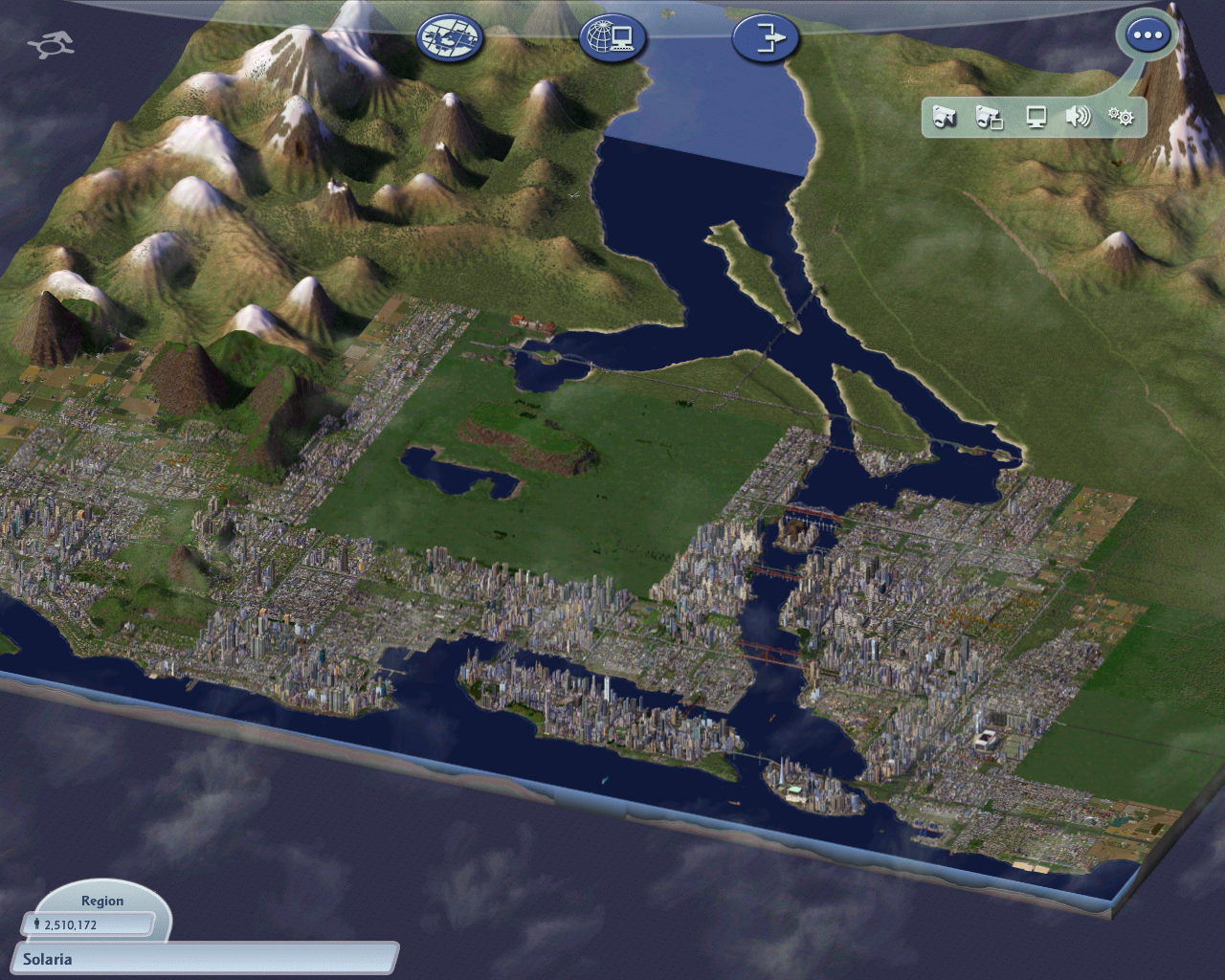
Cold crap winter’s Sunday mean lots of hot chocolate, the heater and time to crack out some Sim City 4.

The Mission: Develop this 16.7km2 piece of real estate:

The hole where I will design and build the new mega city centre

The area is planned to be the main core for the region or rather MEGA city. So that mean maximum densities and a very efficient transit system to boot to move those Sims around.


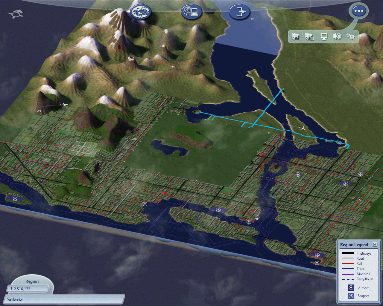
The existing transit map (note it does not show subways)

And the transport networks
And the transport networks. Note the Black and Light Blue are both highways (motorways)

Going to be fun connecting the transit system from the surrounds up to the new area. Of note this is what I have to connect up:

  • 2 lane roads
  • 4 lane avenues
  • 6 lane raised and ground level motorways
  • heavy rail
  • subways
  • Elevated High Speed Rail
  • Ferries and a port in the north west end

Infrastructure wise

  • Fresh water pumps
  • Treatment plants
  • Pipes
  • Some high tension power lines at the beginning
  • Nuclear FUSION reactors
  • Waste Depots so the trash is sent “off map” meaning some deals with it next door if I don’t incinerate it at a Nuclear Fission plant else where on the fringes of the mega city

Of note when I last had a “city” in that piece of real estate it took 4 fusion reactors to power it 😛


And to show were I will be starting:

Blank canvas for my new CORE city

Last time I developed a walking city with 75% of the 1.4m sims either walking or taking mass transit. Impressive? Yep despite the also impressive rapid roading system that matched it.


So time to fire up and get going. If one is wondering I do have a A4 colour copy of the above pic’s where I do pencil in preferences to what goes where in the planning phases. So essentially I am do a Sim Unitary Plan first then let the developers and sims let rip.

Fun times ahead