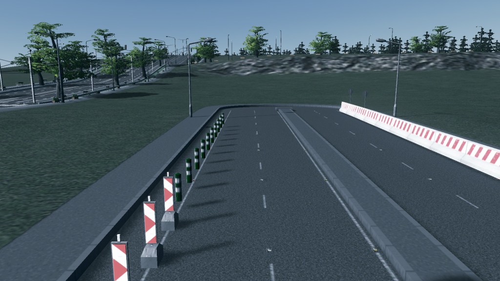
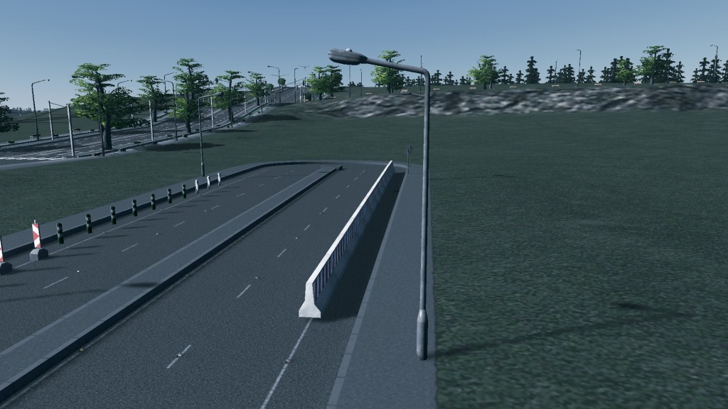
Using the data sets available in game I start problem fixing a congested intersection and checking out the transit lines.
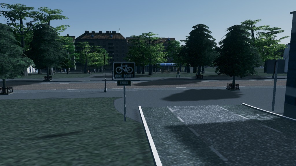
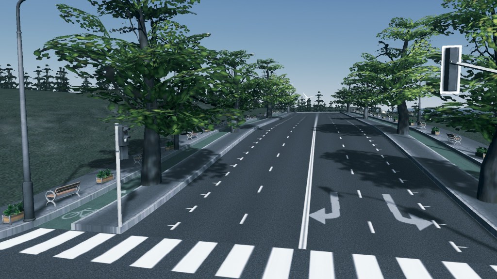
I also respond to questions that are sent to the comments department. This week why the apparent focus on cars and buses and where are the low volume streets
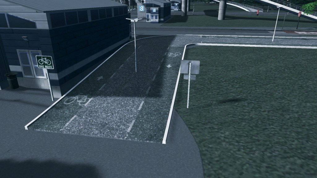
Data helps
In today’s episode we look at how the data sets available in Cities Skylines and how they can be used to either fine tune a City or how it can be planned ahead.
Also included today is the Q+A session. If comments are left in the blog or YouTube videos about an episode I will do my best to answer them. This week’s Q+A looked at street design and an apparent focus on cars and buses.
Without further ado lets tuck into this week’s episodes:
Q+A – 20.10.2019
Using Big Data – Part 1
Using Big Data – Part 2: Using Data to fix a traffic problem (or did I make it worse)
Next week using the data sets I will continue expanding the Watson Heights Metropolitan Centre. Also MOAR HOUSING!
In the mean time – train safe!