
How is the City shaped
When I shared a post over on LinkedIn about ‘Urban Rooms Can Reach Everyone, When it is taken to EVERYONE‘ I had a comment about the Urban Geometry on of my Cities Skylines cities I used as a demonstration model. That is how the physical city was all meshed together which will have direct impacts on the human behaviours within said urban area.
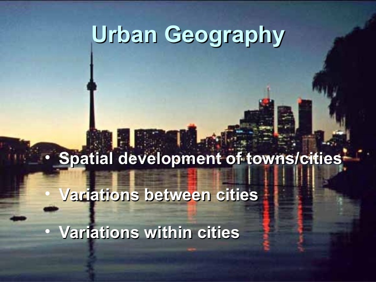
When you put the urban geometry and human behaviours together you basically get Urban Geography.
So in reply to the Urban Geometry question I went and assembled some (okay LOTS) of Urban Geometry pictures of my latest City – Manukau. My style of play is to create urban islands connected by road and rail rather than one sprawling mass covering the map. The islands allow for greenbelts, parks and in some cases containment (heavy industry and transport).
Over and Ben’s Cities I have laid out the urban geometry of Manukau. It is messy, it is raw, it is chaos, it is organic but yet people and good move with relative ease and happiness is on average 93% across all sectors (just the Offices having a moan but they always do).
Full post: The Wayless Travel – the Trans-Manukau Link Road. Part Two with City Geometries #CitiesSkylines
NOTE: Do not open the post at Ben’s Cities if on a mobile device. Desktop recommended due to picture file sizes and that they render best at 1920×1080 resolution.

