
Building a new city?
Four very important questions that will need answers soon rather than later. This especially as 60,000 homes only covers the Southern Auckland Future Urban Zone and existing Greenfield developments such as the final stages of Addison, McLennan Park and the first stages of Transform Manukau. The 60,000 does not include Brownfield developments that can occur in the existing Mixed Housing Urban Zone areas like where I live.
In any case where to put 60,000 new homes to house 200,000 people (25,000 of them in Manukau) as well as transport links and employment centres will be no easy task. Connecting all that back into the existing fabric of Auckland is not an easy task either if we are to avoid two segregated parts of Auckland. Fortunately we are not the only ones going through this development with Western Sydney going through the same thing (at a larger scale) as Auckland (New West Sydney Aerotropolis Gives Rare Opportunity to Design New City). Sure we are not building a new airport as Sydney is but Auckland and Sydney are trying to build effectively two de-facto new cities and connect them back to the respective existing urban areas (Urban Geography: Western Sydney to Get New City. Will/Does Auckland get a New City too?).

The question again is how do we cater for 60,000 new homes, 200,000 new residents, new employment centres (including heavy industry) while moving those people and goods around efficiently?
With the Southern Future Urban Zone to be opened up faster than Council anticipates enters Urban geography. Urban Geography and Urban Geographers like myself will be looking at the three points above and asking:
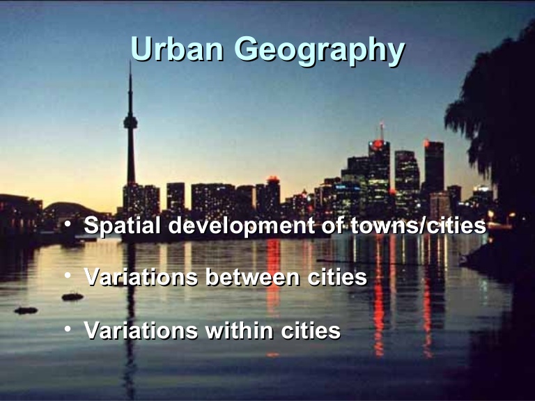
- The spatial development of Auckland and Sydney then, now and into the future
- Variations between Auckland, Sydney and other international cities
- Variations with Auckland itself
Bearing the above in mind I am going to repeat the exercise I did with the Western Sydney Aerotropolis map and map out potential different urban development types, transport routes (ignoring factoring the Auckland Transport Alignment Project, but ignoring the obsolete Transport Future Urban Growth program). Hopefully by Monday next week I should have my Southern Auckland map annotated with urban development and transport ‘flags’ with a methodology on how I came up with the final result.
One overarching factor in this upcoming Urban Geography exercise?
How we can not afford to send too many more people through the Otahuhu and Mangere Bridge transport bottleneck travelling to work in the north from the south and return back home again.


