
A Great Communication Device
Your City is a complete basket case with traffic jams everywhere, your transit system not firing on all cylinders and your zoning choices probably not the most optimal either. I could be talking about any city in the world including my own Auckland and I might just be too.
But today we are going to look at how a real life City Planner is using an Urban Simulator to take people through step by step on using both simple and more complex fixes in turning your City from a basket case to a functioning one.
Starting with one of the more simpler fixes in this case a pair of roundabouts that are clogging traffic:
This next one while I’d say basket case and it nearly broke Sam (Sam is the City Planner running these How to Fix my City series) would be reflective of most medium and large cities around the world including again my home city of Auckland.
The above city was a case of lots of small things that eventually cascaded into mess that presented itself at the beginning of the video. That situation will be true of most real life cities in that lots of small things (and the odd big one) since the end of World War II have all piled up to the point it has cascaded into the mess they land themselves in today. That is traffic chaos, ineffectual transit systems and zones not at their optimum (thus unemployment or industry not at full power).
Sam runs his vlogs with Cities Skylines here.
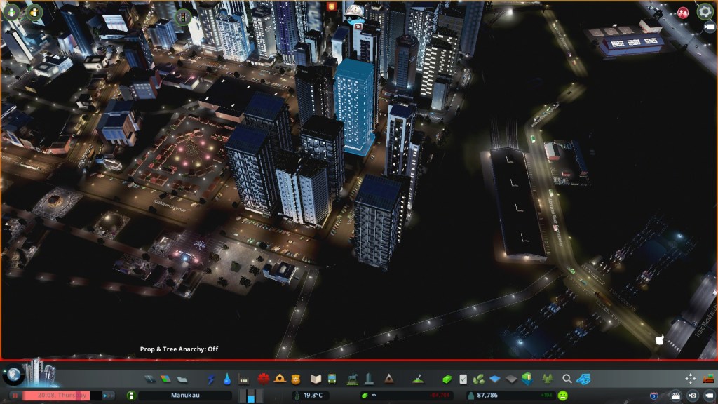
My own City
If I am to look at my own City – Manukau at the moment I’d say it has some work to do. The average traffic flow is around 72% (okay but not flash) with some areas of the city in the Red in terms of congestion.
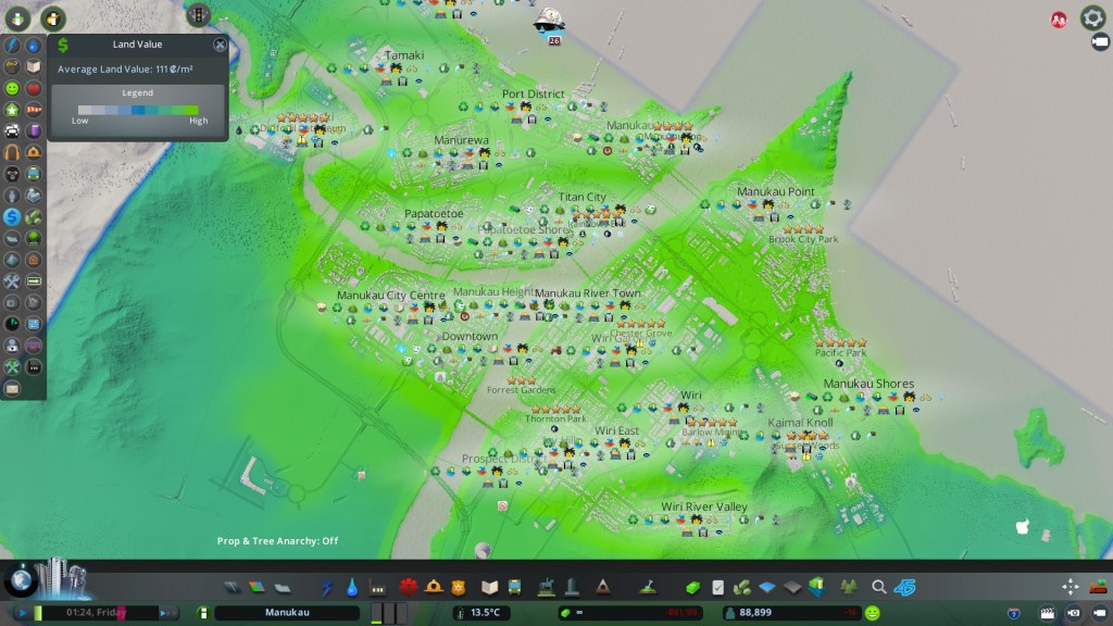
Lets look at the City geography first:
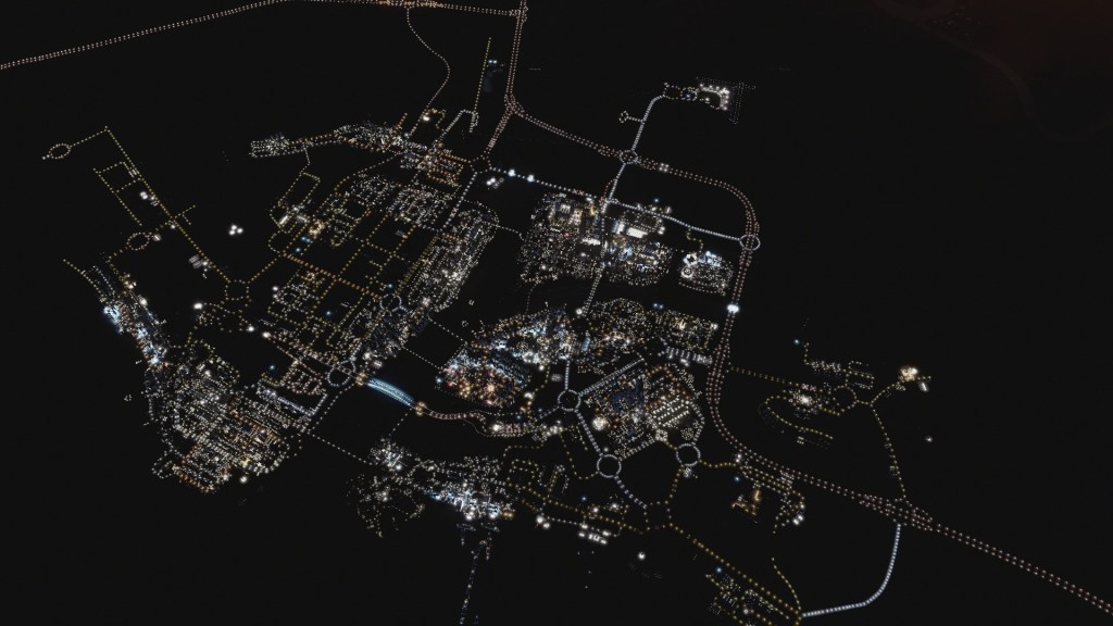
And the districts:

As we can see I go for the Urban Islands approach where I build separate urban islands that are connected by the transport system to form the City as a whole. What cant be seen is that the bulk of the industry is over on the left at Wiri with some down at the Port District, Port Taranaki, Tamaki and Taranaki. This in itself creates issues with freight having to be moved especially from secondary factories (turning raw materials into secondary materials) to the big main factories that churn out the unique products for use or export. So that situation is being worked on by improving the rail system and building some new industrial complexes near to the big main factories to ensure supply of resources is reliable.
Otherwise we have the problems of too much traffic in key areas including intersections that need my attention. Cue the Cities Skylines tools.
Traffic Congestion!


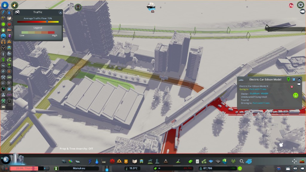
Green is good, red is bad and as we can see Trans Manukau Link and Manukau Avenue are two of the worst roads in the City. Ironically the roundabout was an easy fix. That was simply turning off a set of traffic lights and replacing them with a give-way to get the traffic moving. Doing so got the Traffic Flow Rate from 67% to 72% straight away. So as we can see it is often the little things that give us the biggest wins with transport.
Manukau Avenue that runs right through the City Centre is going to be more interesting as the road is used as a thoroughfare for traffic running between Ivy Hills and Manurewa (so rat running). This rat running fouls up traffic needing to access the City Centre thus we get a nice sea of red along Manukau Avenue. The fixes for Manukau Avenue are either going to be simple or complex deciding what I want to do. It could be as simple as demolishing a bridge and forcing people onto the motorways or I can get myself into knots with traffic light timings and changing intersection layouts. Fun times ahead
Transit time
Now time to check the transit system to see where things are at:


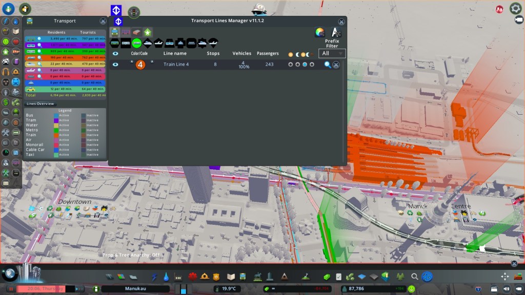
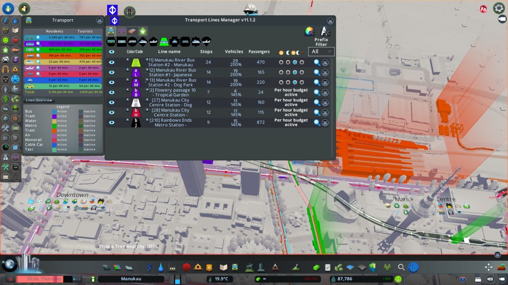

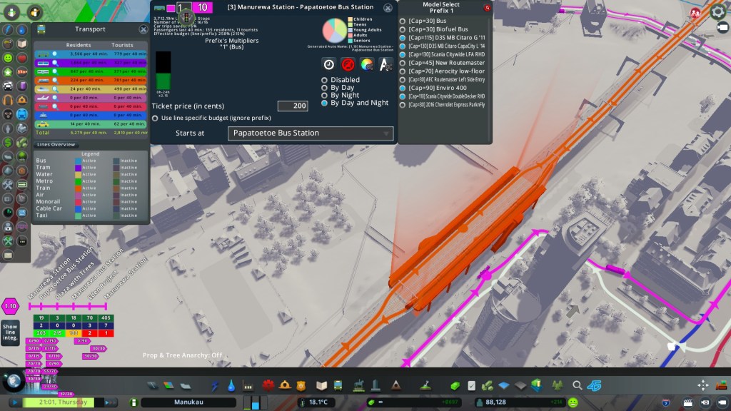
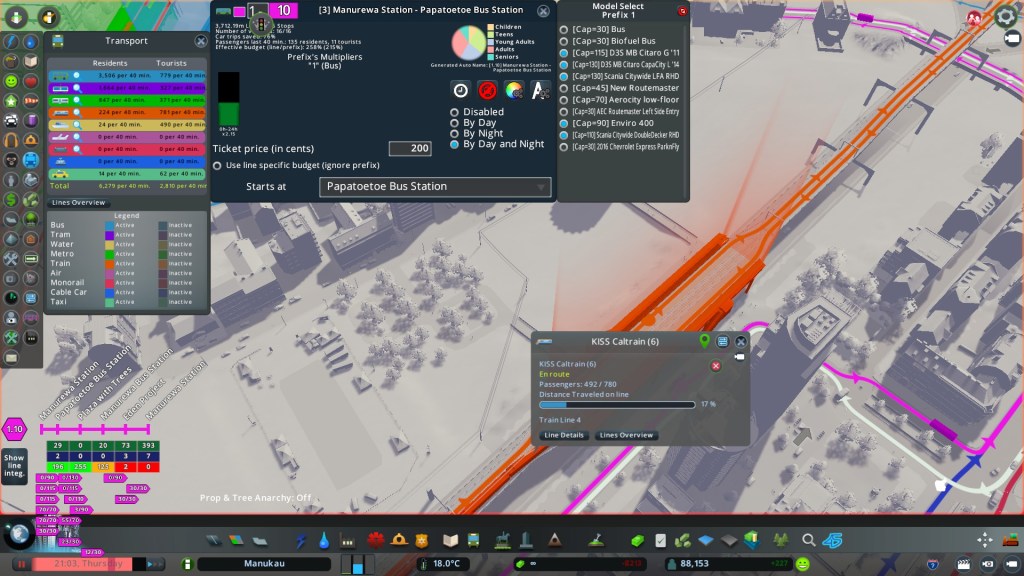
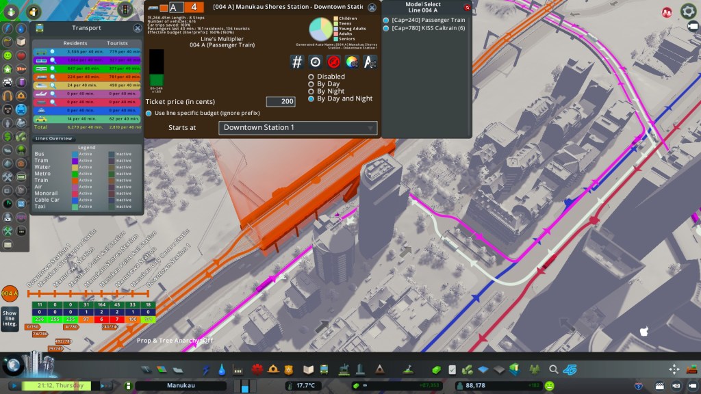

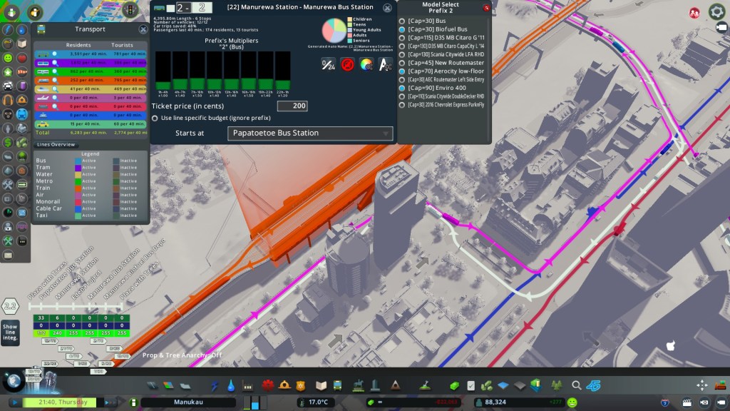


The Transport Lines Manager mod is a blessing in managing your complex array of a multi modal transit system. The TLM is where I control how each Transit Line (by mode) works through its frequencies, time of operations, fares and what rolling stock to use. The TLM also allows me to edit stops along a given route as well.
Standard rule of thumb is I divide my respective transit modes into three classes: Metro, Standard and Light.
Metro is used for heavily patronised routes that need large rolling stock units to serve them at very frequent intervals. Headway between services on the Metro class is often between 4-8 minutes all day every day and can include express services.
Standard I use for patronised routes where Metro is excessive but Light is not enough. With Standard I control the budget that works on 3-4 hourly slots meaning I can determine the number and type of rolling stock on said route. Traditionally that would mean 5 minute headway in the peak and about every 10-15mins in the off peak including evenings.
Light is for my feeder services that feed into the transit spines (often rail). The rolling stock is small and the headways are between 20-30mins with services between 11pm and 4am scaled right back.
Of course the idea is to keep an eye on your transit routes for over-crowding, congestion issues and other events that stop the route being effective. If the Car Trips Saved ratio is less than 100% then the route is not firing properly.
Everything else
Like a good mayor I keep an eye on other indicators as a City is more than transport and zones:


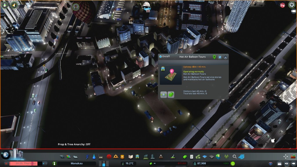


Land values, noise, tourism and pollution are other indicators I monitor as well. Transport connections, cyclists, emergency service and education coverage and efficiency also crop up in needing to be monitored as well.
Speaking of cyclists:

I have a bit of work to do to get that number up.
In conclusion: yep City Planners and Urban Geographers do use Urban Simulators as communication tools in communicating to the wider often non planner and geography audiences. As a communication tool the Urban Simulator has a positive effect as people can visually see how things are, how things work and how fixes can be done. (given humans are often visual creatures). The Urban Simulator can also allow us to run simulations trying several approaches to issues before going out into the real world where a mistake can cost not only a large amount of Coin but also public goodwill as well.
As Sam showed the way cities get themselves into knots stems from often small things (and the odd large one) cascading together to the point we get a situation where that traffic flow indicator has too much red in it for a mayor to be comfortable. As Sam and I also demonstrate fixes can be as simple as a misplaced traffic light needing to be removed or as complex as wholescale intersection changes including the need for bypasses.
The question is how will you communicate that to the public and businesses!


Reblogged this on Ben's Cities and commented:
Using Cities Skylines as a communication tool. Also how is my City – Manukau going?