Improvements to local roads on the cards, and berm planting policy being deliberated
The October agenda for the Manurewa Local Board is out and you can read the web version of it HERE.
Of note is the Auckland Transport Berm Planting Guidelines, and the latest updates on local transport projects (which are better advancing than a certain Interchange further north).
This on transport updates in the Manurewa Local Board area:
Manurewa Local Board – 08 October 2015
Auckland Transport Update – October 2015
File No.: CP2015/20369
Purpose
This report provides an update on local transport matters over the last month for the Manurewa Local Board (MLB).
Executive Summary
This report contains a general monthly update on transport matters both locally and from across Auckland and a list of issues currently being addressed by Auckland Transport for Manurewa Local Board.
Recommendation/s
That the Manurewa Local Board:
a) receive the report entitled “Auckland Transport Update – October 2015”.
Responding to Resolutions
Auckland Transport’s response to resolutions that require a specific answer, made by the MLB at previous meetings.
Resolution number MR/2015/138
That the Manurewa Local Board thank Rua Taniwha for his presentation regarding:
a) the petition requesting traffic calming measures in Sykes Road and supporting the Auckland Transport initiatives in relation to traffic in Sykes Road.
b) request the petition with the following prayer be forwarded to Auckland Transport for action, noting that Auckland Transport is currently consulting with the public for feedback on a proposal to install traffic calming measures in Sykes Road, Manurewa:
c) Petition prayer:
“We, the undersigned, petition Council to consider the need to install speed bumps (or similar) to help control the speed of traffic along the southern end of Sykes Road Manurewa.”
d) request a timeframe date for the completion of the kerb and channelling on Sykes Road near the Aquatic Centre
e) request Auckland Transport investigate the possibility of a roundabout be installed at the Sykes Road / Mahia Road intersection.
Last month Auckland Transport was able to provide answers for sub-paras a, b, c and e of this resolution.
Sub-para d) was not responded too so a response is provided this month. At this time there are no plans to install kerb and channel on Sykes Road near the Aquatic Centre.
Resolution number MR/2015/138
b) That the Manurewa Local Board request Auckland Transport investigate the installation of pedestrian crossings outside Reremoana School on Scotsmoor Drive and Hadley Wood Drive, Wattle Downs.
This resolution has been forwarded to the Road Corridor Operations Team who will investigate the request and provide a report. The aim is to be able to report formally next month.
Discussion
Berm Planting Policy
Auckland Transport has written a draft document setting out how planting in the road berm might be managed. This draft has been circulated to the Local Board looking for feedback.
It was circulated to the members of the Manurewa Local Board on 27 August 2015.
Auckland Transport officers attended a workshop with the Manurewa Local Board on 17 September 2015 and discussed the policy.
Manurewa Local Board members raised a number of points and have made a ‘Board’ submission.
Public Transport Update – Manukau Bus/Rail Interchange
The recently completed Regional Land Transport Programme included funding for an expansion of the public transport services provided at Manukau. Auckland Transport now has confirmed budget to build the planned bus interchange in this location.
The new bus interchange will be located between the existing train station which is under the Manukau Institute of Technology building (shown in Fig 1) and the Auckland Council Civic Centre (as shown in Fig 2).
……
You can see more on the Manukau Interchange latest HERE.
The new bus interchange will provide:
A covered area for bus passengers to alight and dismount buses;
A covered ‘pathway’ for passengers moving to the civic centre and the mall; and
An essential cross over point for people in the South to transfer from buses to trains.
Manukau Station has approx. 1200 passenger movements per day and trains currently run from Manukau to Britonmart and ‘vice versa’ at intervals of approx. 20 minutes.
When the ‘New Southern Network’ is operational in 2016 this station will be a significant ‘hub’ easily accessible to people throughout the Manurewa Local Board area. Thanks to effective advocacy by the Manurewa Local Board this interchange has been included within a ‘transition zone’ meaning that people travelling from Manurewa will only pay for one fare ‘stage’ to get to this station when the new ‘Simplified Fares’ for public transport start.
Public Transport Update – First Part of the ‘New Network’ Starts Operation
The first part of the ‘New Network’ starts operating on 18 October 2015. The first routes are on the Hibiscus Coast.
In South Auckland the tender process is currently underway and the ‘New Network’ is planned to be operating in South Auckland by mid-2016. This corresponds with the planned completion dates of the Manukau and Otahuhu Bus/Rail interchanges.
The ‘New Network’s objective is to use frequent local bus services to get passengers to rail stations from which large numbers of people can be moved north or south. By using bus and rail services in an integrated manner efficiency is maximised.
Within Manurewa the ‘New Network’ will mean more frequent and reliable bus services east/west and around the Local Board area that should make it easier for people to get them to key local rail hubs Manurewa and Manukau.
Great South Road Corridor Management Plans (CMPs)
A CMP is a conceptual plan that outlines the types of planning that may be needed to manage transport along a corridor, so that agencies can start planning budgets and work programmes in a coordinated way as early as possible.
CMPs are not detailed but are strategic documents designed to provide a 30 year framework for all agencies working to maintain and improve transport along broad ‘corridors’.
Auckland Transport has been undertaking a refresh of the CMP for Great South Road in the Takanini area to take account of the works at the Takanini Interchange undertaken by NZTA and the planned rate of growth in South Auckland. On 17 September 2015 Auckland Transport staff met with the Manurewa Local Board and discussed the CMP.
Local Board Transport Capital Fund (LBTCF):
MLB has a total pool of $2,392,297 available in this electoral term that can be spent on transport projects.
In this electoral term the MLB has identified six projects that are being investigated. Details of the projects and their status are included in Attachment A.
Significant progress has been made in the last month. Most importantly initial timelines are starting to be developed and are included in ‘Table 1’ below.
Table 1 – Major Project Estimated Timelines
Project
Arts and Plants
Great South Road
Covered Walkway
Kirton / Williams Traffic Calming
October 2015
Finalise detailed design
Finalise detailed design
Finalise detailed design
November 2015
Finalise detailed design
Mid-November – public consultation
Procure contractor and start work
Planned to be completed by June 2016
Public consultation
December 2015
Public consultation
Finalise changes from public consultation
Finalise changes from public consultation
January 2016
Finalise changes from public consultation
Prepare information about changes to road layout for Traffic Control Committee
Prepare information about changes to road layout for Traffic Control Committee
February 2016
Prepare information about changes to road layout for Traffic Control Committee
Submit to Traffic Control Committee
Submit to Traffic Control Committee
March 2016
Submit to Traffic Control Committee
Procure contractor and start work
Procure contractor and start work
April 2016
May 2016
Procure contractor and start work
June 2016
Note: The timeframes indicated are’projected’ as the projects advance there will be changes to them.
Table 1 clearly demonstrates the tight timeframes required to be met by projects aiming to be delivered by June 2016. It also highlights the difference in time required when a project needs to undertake a public consultation. The ‘Covered Walkway’ project for instance should advance quickly because there is not a requirement for widespread public discussion.
Progress has also been made in the following areas:
The project to upgrade Wiri Station Road is working through procurement;
An initial plan is available for the Williams Ave/Kirton Cres Traffic Calming project and is included as Attachment C.
An initial plan is available for the ‘Arts and Plants’ project and is included as Attachment D.
The plan for the ‘Great South Road Pedestrianisation’ project was not available for attachment to this report but should be able to be circulated by email to all members before the October 2015 meeting.
Source: Manurewa Local Board – October, 2015 Agenda
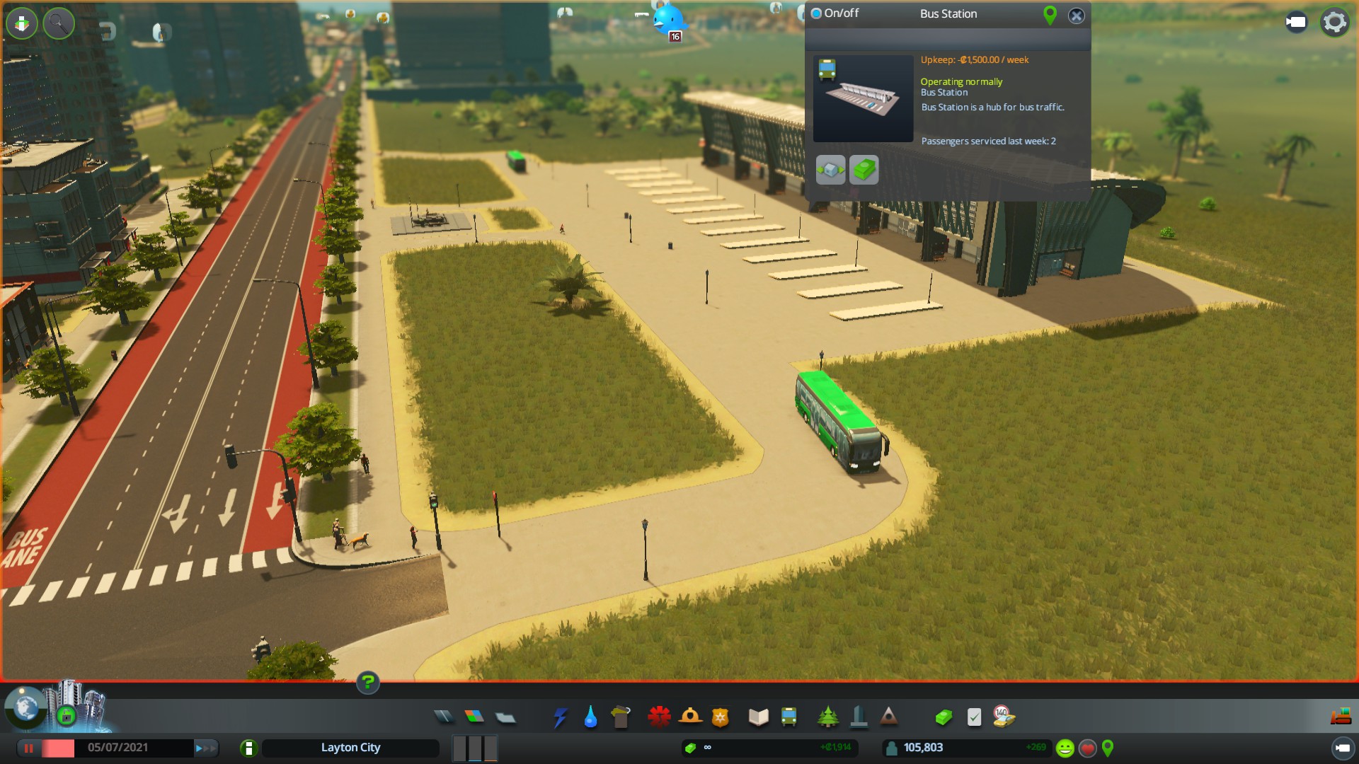
(Keep it simple) Bus Station. While this one is quiet with only a single route serving it, the stations can serve up to 8-10 routes allowing transfers between each one at the station.
On Berm Planting:
Manurewa Local Board Feedback on the draft Auckland Transport Berm Planting Guidelines
File No.: CP2015/20612
Purpose
Attaching the Manurewa Local Board feedback on the draft Auckland Transport Berm Planting Guidelines.
Executive Summary
Auckland Transport has developed guidelines for berm planting. Feedback is being sought from local boards.
The Manurewa Local Board received a briefing on the berm planting guidelines at a workshop held on 17 September 2015. At the workshop the board requested that Members Bailey and Hawkins further develop the board’s feedback at the Transport portfolio.
The attached document was circulated to members for comment.
Recommendation/s
That the Manurewa Local Board:
a) note the feedback on the draft Auckland Transport Berm Planting Guidelines.
Auckland Council is making changes to its Operations division as it gears up to respond to the challenge of Auckland’s rapid growth.
“Auckland is expected to grow by roughly the population of Hamilton every five years, so we need to maintain our focus on responding to that growth,” says Chief Operating Officer Dean Kimpton.
The Operations division makes up the largest group within Auckland Council, with more than 5000 staff delivering critical frontline services to Aucklanders, such as libraries, infrastructure and environmental services, parks and reserves networks, licencing and compliance services, and more.
Changes to the Operations division focus on providing better service delivery for Aucklanders, faster and more cost effectively. We will achieve this by bringing activities together so that communities experience services in a more streamlined way. This can already be seen in Te Atatu and Mangere-Otahuhu, where community centres and libraries have now been integrated. We will also provide improved processes for customers such as integrated online booking and consenting services.
A number of changes are underway including a new Development Programme Office will launch early next year. It will bring together the Housing Project Office and City Transformation Projects units to coordinate the council’s response to major development and infrastructure programmes, including large housing developments.
Another change is the reshape of the council’s Community Services, which includes the regional parks network, and Community Facilities.
Changes won’t affect regional park services
“Auckland Council values the regional park network and has no intention of breaking it up,” says Dean Kimpton. “Our focus remains on enhancing how we look after these assets in the context of increased visitation and Auckland’s continuing growth, and we will continue to work with the Friends of Regional Parks and volunteer networks.”
“Top of mind is the 50-year history of regional parks in the Auckland region and that all of our parks and open spaces are well loved and are used by thousands of Aucklanders and visitors every year. We know that there is 98 per cent visitor satisfaction across our network of regional parks. We certainly want to maintain this. We also know that visitation across our regional park network has increased by 20 per cent over the past seven years and will continue to rise.”
“Regional park asset and management decisions will continue to be considered in a whole-of-network way, and there will be a continued focus on ensuring that all regional parks are effectively resourced.”
About Auckland Council regional parks:
26 regional parks in the Auckland region, covering over 40,560 hectares and representing approximately 40 per cent of public open space
85 park rangers on the regional parks network
over 65,000 person-hours of volunteer work are undertaken on the regional parks every year
over 5 million people visit our regional parks network every year
20 per cent increase in visitation over the past seven years
98 per cent visitor satisfaction across our network of regional parks.