
Need to sort out our structures
The recent deaths of two pedestrians by a bus in Papatoetoe and the critical injuries a cyclist received while using the road in Morningside highlight that Auckland and New Zealand have an extremely long way to go before our roads and streets are safe for all users.
As I have blogged in the past we seem to have a fascination for function (so efficiency and flow) rather than form (using transport as part of the place making mix). This prevalence as it were as lead to a situation where the human has become second fiddle in their own City.
How has this happened when Cities were about human interaction. A collection Tweets below sums things up:
This debate played out yesterday
I had mentioned as a Geographer a problem with spatial development in Auckland after multiple pedestrian/cyclist incidentsThe debate devolved into metres, centimetres and Road Design Manuals
My point was rather proven
https://t.co/XEbKjjeCNQ
— Ben Ross (@BenRoss_AKL) April 20, 2018
This debate played out yesterday
I had mentioned as a Geographer a problem with spatial development in Auckland after multiple pedestrian/cyclist incidentsThe debate devolved into metres, centimetres and Road Design Manuals
My point was rather proven
— Ben Ross (@BenRoss_AKL) April 20, 2018
“Engineers should not just focus on how to meet demands of traffic and maximise safety, but how to promote a sense of community and to encourage health and well being.”
‘Wellbeing’ is the design objective of the 21st Century. via @victoriawalkshttps://t.co/ng7Le6Njh1
— Bridget Burdett (@Bridget_Burdett) April 19, 2018
I think we are all missing a step here
Already had one thread in here devolve from Geography to centimetres, lines and road design manualsMight be time to like at a hierarchical chart on where things need to sit https://t.co/sp66ck7WSK
— Ben Ross (@BenRoss_AKL) April 20, 2018
But in short from top to bottom
Urban Geographers
Urban Planners
Urban Designers
EngineersOf note Urban designers can sit alongside Urban Geographers if wanting to handle the real macro level stuff
— Ben Ross (@BenRoss_AKL) April 20, 2018
Agree. More decision-making from urban geographers, based on measuring participation, who then prescribe projects for planners and engineers that work towards improved wellbeing (traffic volumes schmaffic schmolumes)
— Bridget Burdett (@Bridget_Burdett) April 20, 2018
And this is where @AklTransport struggles the most
They still see themselves as engineers focusing on function rather than Urban Geographers, Urban Designers and Place makers focusing on form https://t.co/49iOuF5meH
— Ben Ross (@BenRoss_AKL) April 21, 2018
Likewise excessive traffic speeds in the city centre – surely an easy fix?
Lower the limit and tighten up some of these insane turning radiuses to discourage cars from flying around corners. pic.twitter.com/R5UoJJZ1wP— Strategic Cities (@StrategicCities) April 20, 2018
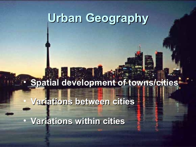
Note: I am an Urban Geographer by trade with Arts in Geography and Political Studies as my qualification. I spend my time researching the spatial developments of towns and cities, their variations between and within. Subsequently as an Urban Geographer I will critique policy and Planning when it comes to decision-making around spatial development of a city/town.
Where all this has come from was the two accidents I mentioned at the beginning. I had Tweeted that we need to look at this from an Urban Geography perspective. That is how is the spatial developments of our urban centres leading to such extremely preventable tragedies. The thread from my original Tweet that ensued started well and we were looking at spatial equation with Auckland but it then turned into a debate on road lines, widths of said road lines, widths of refugee islands and road design manuals.
Rather salient my point and Flyt’s Tweet about engineers, planning and geography were ultimately proven. We have become bogged down in engineering and trying to engineer our way out of the mess (that we engineered ourselves into). However, we can not because we still seem to be stuck with function rather than form – or rather we have become focused on movement with humans themselves becoming that second fiddle.
At the moment we tend to let engineering being at the top of the City building matrix and people planning at the bottom of that same matrix. If we are to adopt form (place making) over function then the matrix is going to need to be flipped on its head from where it is now.
Thus if we adopt what Flyt and I would approach a City matrix it would go something a bit like this:
- Urban Geography at the top: First up would be your spatial development, its variations and how we would want the City to be. By its very nature Urban Geography (or Geography as a whole) puts the physical and human geographies (also the main two sub disciplines of Geography) first thus when it comes to spatial developments itself those previous geographies come to the fore. Effectively using the limitations and opportunities presented by the physical and human geographies in a set area how do I want my urban place and environment to evolve. Note I said evolve not build. Build is something as an Urban Geographer I am not overly “fussed with” as I have urban planners and designers who are more nuanced for this kind of stuff.
- If this was done in Cities Skylines I take my map and go this is how I want my City to evolve and these are the parameters the physical and human geographies present me. Thus I take broad brush strokes on where I want things roughly taking into account the evolution of the City.
- At this level it is the only time I would be dabbling with engineering matters – that is my inter-regional road, road, shipping and air connections. What are my inter-regional transport connections and how will they influence the spatial development and evolution of my City. This is bearing in mind Form rather than Function takes priority so those connections will need to be conscious of place making. Manukau City Centre is a classic example of this with its rich inter-regional connections and its surrounding industrial complexes influencing its Form.
- Next up is Urban Planning and macro-level Urban Design.
- With the spatial development road map laid out it now comes to the Planners to begin stage 1 of the execution – the placement of the zones and with urban designers mapping out the placement of the civic infrastructure (parks). Typically for a City to get going and capitalise on the inter-regional transport connections you start with industry zoning then residential and finally commercial. As a side note this is why South Auckland is functioning well in its continued urban evolution and West Auckland is not. This is because the South built itself around industry (that includes farming) followed by residential to service that industry then the commercial to service both. West Auckland seems to be doing the reverse by doing the commercial first (Westgate) then the residential (Hobsonville Point) and then industry as an afterthought – and subsequently I wonder why State Highway 16 is bunged each day…. Planners along with the Engineers will also need to map out the bulk infrastructure (water, waste-water) and storm water. Planners will also need to prepare the intra-city transport routes and hubs for the engineers to build as well. In Auckland and Cities Skylines this would be the Unitary Plan.
- Urban Design: Urban Design comes in at this stage of the game as place making starts right away once the zones and the infrastructure mapped out. You are thinking why urban design now when the roads and pipes are not down yet. Remember how I said form over function? I am looking at place making over just movement and yes this also includes place making with industry. This is because if you dont start you place making straight away even your industrial complexes end up in a mess making it harder for transport to serve them well. Also given developments do tend to cluster around transport routes and hubs (passenger and freight) urban design also becomes paramount if we are to support the spatial development and urban evolution of the City. In Cities Skylines this is parks and transport hub placements (note: give game mechanics I will need basic (main) intra city road and rail down first to allow placements of parks and transport hubs, a city would be similar to this aspect).
- Engineering: I have the maps, I have the zones, I have some basic road and rail, I have parks and I have transport hubs. Now to back this all up and this is where engineering comes in. To build the arteries and veins that will support the spatial development of the City and its constant evolution. Please note: Engineers will always be involved with geo-technical matters right through the process as things like peat soils and hills will (in this instance) give physical geography limitations to what we can develop there. Notice how I said build and not design the City and its support mechanisms – this is constant with what Flyt said and I strongly believe in. In Cities Skylines this is the pipe and plant build and wider road placements (the stuff that frustrates me and is time-consuming the most).
And that is the matrix I would use when it comes to the spatial development and evolution of our urban areas. Because right now we have a reverse where engineers are designing and clashing out with the planners and urban designers while the Urban Geographers are left out in the cold entirely. It is also why things right now are in the literal crap with deaths and injuries happening in our city that can be so easily avoided. All because we have let function come before form. Movement before people.
Here is an example of function over form becoming form over function:
Europe’s longest shared space – a successful street transformation.
Mariahilferstr, Vienna.https://t.co/m1u8UREncq pic.twitter.com/Rew6P8iGwR— Alexander Ståhle (@StockholmCyclo) April 22, 2018
Notice the difference it makes when you put people first.
Time to flip the matrix over and let those with their respective skill sets all do their respective JOB!


