
Could the Metropolitan Centres “make or break” a Rapid Transit Line?
Updated: Presentation now included
(This post appeared originally on my LinkedIn page. You can see my LinkedIn page HERE)
Yesterday I was listening to a presentation on Transit Orientated Developments in Edmonton – Canada. The presentation was designed to give some history lessons on what to do and not do as Auckland proceeds with new Rapid Transit lines itself.
The Presentation:
Edmonton_s Transit Oriented Development Journey – Tom Young
Rapid Transit Verse Bus Rapid Transit. NZTA Sets Tenders for Light Rail But Terminology Counts
No the above is not the presentation as I am waiting for it to come through and share it.
But what got me thinking during the presentation is where Edmonton’s Light Rail lines went and their varied successes. Simply put when it went to an area of single use zoning (either all residential or big box retail) the station and consequently the Line would struggle with patronage and urban renewal opportunities. However, when a station was or is going next to a multi use zone such as a mall being redeveloped into mixed use (residential, retail, office and open space) the station and Line would end up doing very well. Of course when a transit line runs by an education campus like a university the Line will do quite well – and even better when connected to feeder services and other multi use complexes. With Edmonton there is efforts under way to connect up their Light Rail network to several malls which are at various stages of redevelopment to multi-use centres.
For clarity for non Auckland readers, the Edmonton malls and immediate surrounds would be the equivalent of a Metropolitan Centre in Auckland that is our third ranked multi use zone behind the City Centre and Nodes (large or Super Metropolitan Centre). Metro Centres and Nodes are multi-use zoned area often with large malls and land holding ripe for redevelopment.

Source: Auckland Council
After the presentation (which while designed around the upcoming City Centre to Mangere/Airport Light Rail line) I was thinking about the Airport to Botany Rapid Transit Line.
Urban Geography thoughts
City Centre to Mangere Light rail connects City Centre to Airport – there is no Metropolitan Centres on the RouteAirport to Botany RTN links to said names with two Metropolitan Centres along the way. One Metro Centre would get 4-5 RTN stops pic.twitter.com/0kP21VWjQQ
— Ben Ross (@BenRoss_AKL) July 24, 2018
Why are Metropolitan Centres important? Because they are ranked third in terms of Intensity and Scale behind the City Centre and a Node per the Auckland Plan 2050 (Manukau is actually a Node so Airport to Botany links a Node and Metro Centre to the Airport). pic.twitter.com/5BN2K05uOE
— Ben Ross (@BenRoss_AKL) July 24, 2018
Thus a Node and a Metro Centre (along with the Airport) is where you are going to get the most multi use activity in an area outside of the City Centre itself.
While we have Town and Local Centres these are much smaller in scale and do not have Regional catchments
— Ben Ross (@BenRoss_AKL) July 24, 2018
that a Metro, Node and Industrial Complex (Airport) would.
The City Centre to Mangere has the City Centre, Airport, some town centres and a pile of single use residential zones and that is it. Transit Orientated Developments making
— Ben Ross (@BenRoss_AKL) July 24, 2018
the most of mixed use will struggle on the City Centre to Mangere line apart from say Mangere Town Centre and Onehunga – owing to Transform Onehunga not its town centre.
— Ben Ross (@BenRoss_AKL) July 24, 2018
Airport to Botany has:
Airport, two sets of industrial complexes (Puhinui and East Tamaki), a Node (Manukau) which would have 4-5 Rapid Transit stops inside it, Puhinui Station allowing links with commuter and inter city rail, Botany Metropolitan Centre –— Ben Ross (@BenRoss_AKL) July 24, 2018
that links to the Eastern Busway to Panmure and of course residential at Papatoetoe, Otara and Flatbush (along Te Irirangi Drive) which can all be interlinked pic.twitter.com/A6itsjdV97
— Ben Ross (@BenRoss_AKL) July 24, 2018
The Transit Orientated Development potential for Airport to Botany is extremely rich and market viable (given the South is growing at 30% over 30 years to the Isthmus’s 29%) per the ATAP. More richer than City Centre to Mangere that has no Metro Centres and lots of single
— Ben Ross (@BenRoss_AKL) July 24, 2018
use residential zoning that will take decades to upscale and upzone even with Public Plan Changes (which would be resisted). This is compared to Airport to Botany which has multi use zones already to go.
— Ben Ross (@BenRoss_AKL) July 24, 2018
Urban Geography wise I would put my money towards Airport to Botany Light Rail fast. As an investor if the TODs on that Line can be planned right I would invest too, especially if the Manukau node has 4-5 stops with large land holdings that are very attractive to developments
— Ben Ross (@BenRoss_AKL) July 24, 2018

Source: Auckland Transport

Manukau City Centre and a potential Airport to Botany Rapid Transit route (yellow). Note where the stations could be (red) and how a single Node (large Metropolitan Centre) could be served by multiple rapid transit stations that would catalyse different sets of urban developments (using the 200 and 400 metre walk up rules)(given none of the stations proposed overlap the 200 metre radii).
Could a Metropolitan Centre or Node make a Rapid Transit Line especially a Light Rail Line? Yes
Could a lack of Metropolitan Centres and the promience of single use zoning break a Rapid Transit or Light Rail Line? Equally yes.
Thus we need to tread with cautious optimism and Rapid Transit is not meant to be a silver bullet solution but an ingredient in a long term mix of City and Community Building.
For more:
The Southern Airport Line – More than a Light Rail Line – A Community and City Builder Too!
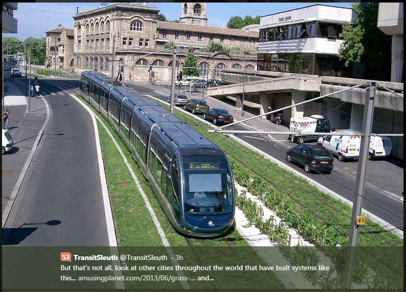
Could the Southern Airport Line be like this? Yes it can

