
I think it can
We know of heavy rail (conventional passenger and freight trains) and light rail (trams or metro style trains that can operate within a road corridor (Melbourne or Gold Coast) or their own right of way (Vancouver’s Sky Train) but what about Lite Light Rail?
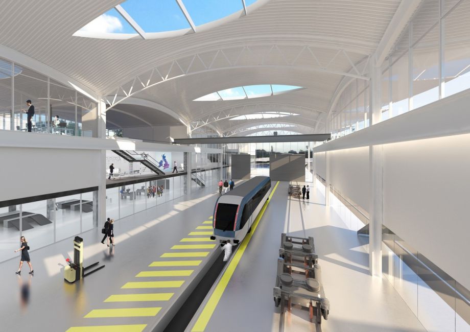
Over in the UK concepts are being drawn up and tested for a mode of light rail that is more than a bus on a busway but bit less than Light Rail when one might not need the full capacity light rail can give (15,000 people an hour for Skytrain).
From Next City:
U.K. City Plans to Develop ‘Lighter’ Light Rail
English City Plans to Develop “Lighter” Light Rail
The town of Dudley in Britain’s West Midlands is launching a program to make itself the hub of research into the next generation of light-rail technology, Global Rail News reports.
Dudley Metropolitan Borough Council and the University of Warwick’s Warwick Manufacturing Group have drawn up plans to launch a research center for the development of “very light rail” technology, which its advocates hope will revolutionize rail transit construction and operation.
The goal is to reduce the weight and cost of vehicles and track in order to make rail transit a viable option for suburban and rural areas as well as cities. Those of a certain age may recall a similar “very light rail” technology of the 1920s: the single-truck Birney Safety Car, which was developed to provide lower-cost trolley service for smaller cities.
The proposed research center would incorporate 2 km (1.2 miles) of unused railroad track, test platforms, and a large engineering center. The facility would also contain meeting rooms, laboratories, classrooms and exhibition and conference space.
…..
Source: https://nextcity.org/daily/entry/uk-city-plans-to-develop-lighter-light-rail
Normal Light Rail can already take steeper gradients and tighter turns than heavy rail while moving a lot of people around. Lite Light Rail would have the same characteristics as normal Light Rail but require less corridor space than its Light cousin meaning if an urban area was looking for something more than a bus but less than Light Rail then Lite Light Rail could fill that gap.
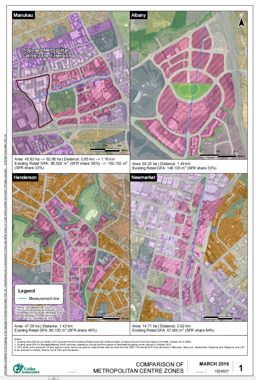
So the question becomes is there anywhere in Auckland that can take Lite Light Rail? Yes there is and I can think of two Metropolitan Centres right off the bat that would be suitable for Lite Light Rail. Albany Metropolitan Centre could be one with LLRT (Lite Light Rail Transit) linking the distant Albany Bus Station (and eventual LRT station) to the mall and southern areas of the Metropolitan Centre (Albany is the second biggest Metro in Auckland) widening the catchment of transit in that area. The most obvious place for LLRT would be Auckland’s largest Metropolitan Centre – Manukau City Centre.
Source: Evidence to the Unitary Plan. The Manukau Metro Centre was expanded to include the Supa Centre in the Operative Plan
Rather coincidentally in drawing up the Southern Airport Line maps (see: The Southern Airport Line and Transit Orientated Developments. Rethinking Transit and Developments in Auckland) earlier on I might have picked one of the first routes for a LLRT scheme to move people around the Transform Manukau area:
Transform Manukau covers some 600 hectares with the main station’s 800 metre catchment only capturing half the Transform area.

Source: Panuku Development Auckland
The Transform Manukau area as a whole:

Source: Panuku Development Auckland
In the Manukau residential area (between State Highway 20 and Browns Road, Manurewa) there are already developments under way that will yield around 1,500 homes for around 4,500-5,000 new residents. The Transform Manukau area is forecast to house 20,000 new residents as a conservative estimate.
If we are to avoid fouling up the roads within the Transform Manukau area as those new residents move about then something will need to back up the 33 Great South Road and the 365 Papakura-Manukau busses (that hold 50-72 people) quickly. Conventional light rail to navigate the Transform Manukau area would be expensive but yet the busses could hit capacity very quickly. Enter Lite Light Rail and the potential to shuttle people within Manukau quickly and efficiently.
Transform Manukau is 600 hectares (the City Centre excluding Port of Auckland but including Wynyard Quarter is 385ha in size as a comparison) and has a large range of (Unitary Plan) Zones thus activities within its border (compared to the City Centre having just the City Centre Zone). Transform Manukau’s zones include (but not limited to):
- Metropolitan Centre
- Mixed Use
- General Business
- Light Industry
- Heavy Industry
- Terraced Housing and Apartments
- Mixed Housing Urban
- Mixed Housing Suburban
- Single House Zone
- Special zones including health, school and the Vodafone Events Centre/Wero White Water Rafting Park
- Possibly Civic Zones and Open Space Zones as well
- And a Neighbourhood Centre over in Rata Vines
Heck the only thing missing was the Rural Zones 😛
So you can see a very wide range of zones thus activities within the Transform Manukau area. This means lots and most likely dispersed travel as well. More than walking or busses could ideally handle thus the risk of local car trips (and localised congestion) is heightened.
Lite Light Rail would travel through the guts of the Transform Manukau area stretching from Browns Road at the southern border through the Manukau/Wiri residential area, up through Manukau Centre via Osterlery Way and Sharkey Street (linking with Manukau Central Station) and to the northern border at Puhinui Road. To the west is Druces Road and to the east is the Great South Road while Cavendish Drive and Lambie Drive will also have roles to play. Fortunately Manukau is blessed with wide roads and even wider grass medians so getting both Light Rail and Lite Light Rail through the Transform Manukau area would not be a headache compared to the Northern Airport Line that has to navigate Dominion Road.

Lite Light Rail and Micro Centres
Transit Orientated Developments creating Micro Centres
Like the Northern Airport Line, the Southern Airport Line offers a chance for Transit Orientated Development around each of the Lines’ stations. The beauty of the Southern Airport Line is that all of its stations along its 18km route are ripe for some good old fashion TODs! As a bonus most of the stations along the Southern Airport Line will also have cross-feeder busses running through them extending the accessibility of the Line and the viability of the TODs themselves:

Source: https://www.scribd.com/document/365399828/Southern-Airport-Line-LRT-Alignment-Proposals-and-Final#
As for the TODs themselves I usually work them to an 800 metre maximum radius with a 200 metre and 400 metre set of radii inside that 800m max radius.
800 metres is traditionally the walk up catchment of a station or stop thus the 800m catchment is where you would do high density developments to make most use of the that station and its catchment. However, if the station is traversing through a low or medium density area (like Te Irirangi Drive and Puhinui Station does) then making the entire 800 metre radius catchment dense development is going to give scale problems. Enter the 200 and 400 metre radii marks. 200 metres from the station is where you would do your most dense developments with the developments scaling down between the 200 and 400m mark and again from the 400-800m as the development transitions into the surrounding urban form.
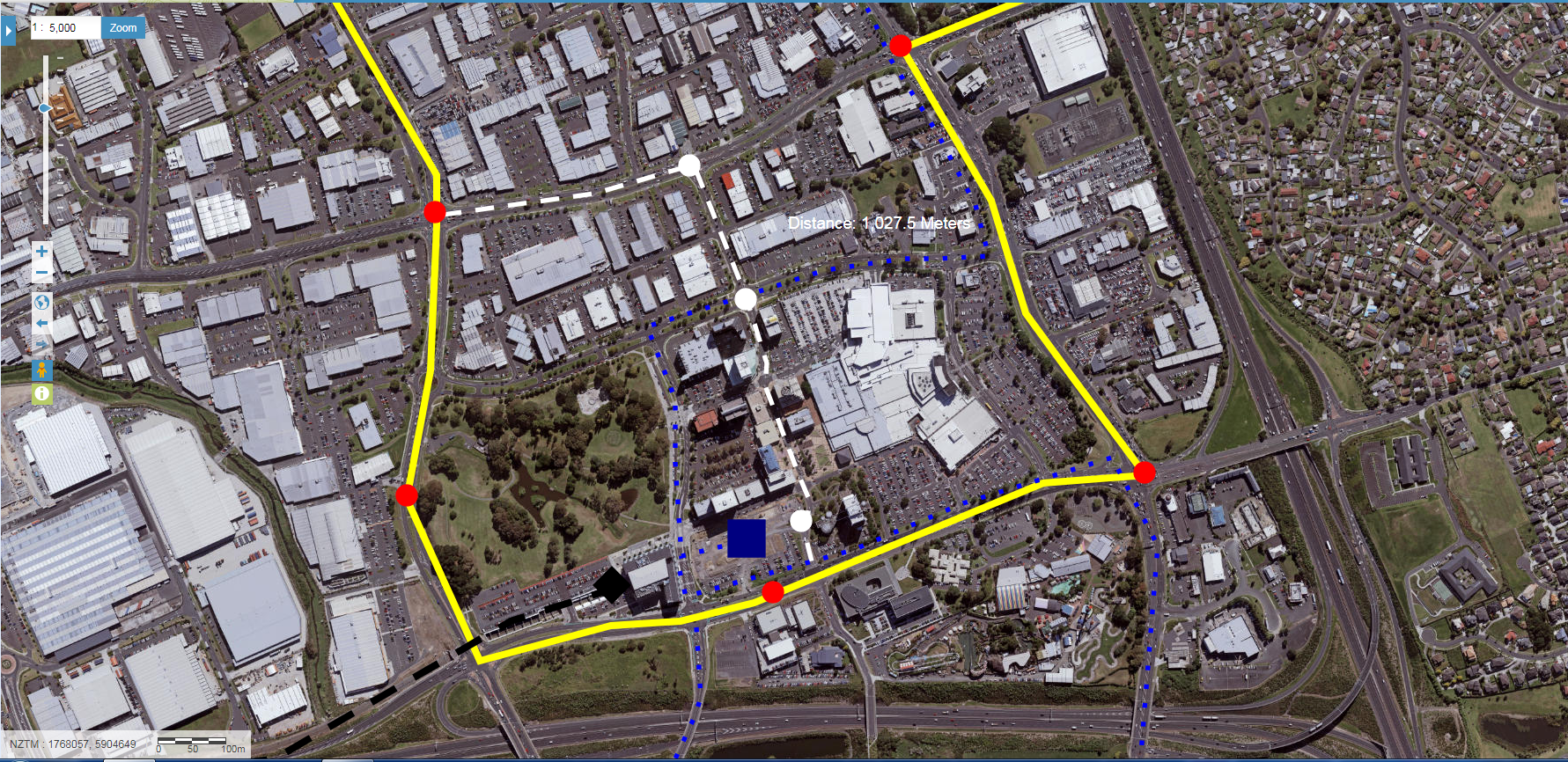
For stations inside Manukau City Centre like the Manukau Central Station where the 800m radius mark is taken from the 200, 400 and 800m rules I would work a bit differently given stations inside Manukau City Centre will have overlapping 800m radii.
Your 400m and 800m radii still mark the transition of your urban form down as the Metropolitan Centre Zone phases into lower density zoning such as General Business, Mixed Use, Terraced Housing and Apartments or Light Industry just like you word normally with any TOD. The 200m radius where some of the most dense urban form might be found especially around Manukau Central Station is where I would focus niche, boutique and even artisan class types of urban form to both be an magnet to Manukau as well as give Manukau its sense of place unique to the City as a whole.
To further encourage this artisan type urban morphology around Manukau Central Station using the Gold Coast’s idea of transit malls and Panuku’s humanising of Manukau Station Road and Lambie Drive would certainly not go a miss.


And of course lets not forget the accessibility the Southern Airport Line (422 x 12 = 5,064 potentially crossing through plus what the busses and heavy rail bring into Auckland’s largest Metropolitan Centre) would bring as well (Redesigning the Transit Network #CitiesSkylines Style. Lessons for Auckland)
…….
Remember how I said the Grey dashed line could form a transit mall? It still can with the Lite Light Rail forming that Transit Mall right through the core of Manukau City Centre freeing up the larger Southern Airport Line to do its cross town work between Botany and the Airport.
Lite Light Rail, when patronage is a bit too much for a bus but not quite there for full-blown Light Rail like the Southern Airport Line. LLRT (Lite Light Rail Transit) might just be the think for large Metropolitan Centres like Manukau City Centre in linking different activity areas up within that Metro area with its own quality “rapid transit.”
I am interested to see how the UK pilot of LLRT goes. If it is successful I wouldn’t mind a scheme being rolled out here – for the minimum increasing accessibility to quality transit within a large Metropolitan area like Manukau as well as the optimum of creating new public spaces.


It sounds like a really good idea. I have always thought that there needed to be so kinda of rapid transport(or high frequency) link between AUT, cavendish drive, bus/train station, pacific area, pacifica gardens, super clinic. If there was a southern link via rail to manukau then people would easily be able to get to work (superclinic, AUT, DIA, etc)